UN
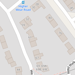
2 Higher Wear Road
£ 160,000
Description
We don't have a Description for this property.
- Bedrooms
- 3
- Bathrooms
- 0

Leaflet © OpenStreetMap contributors
The heatmap indicates the level of crime in the area. The color of the heatmap indicates the crime severity and recency.
Metrics Year-on-Year
- Average area value
- 512,958.00 £Increased by 3.97 %
- Average area rental value
- 1,409.00 £/moIncreased by 0.57 %
- Est rental Yield
- 3.30 %Decreased by 3.23 %
- Crime Rate
- 29.00 %Unchanged by 0.00 %
from 493,386.00 £
from 1,401.00 £/mo
from 3.41 %
from 29.00 %
Nearby Schools
| Name | Type | Ofsted | Distance |
|---|---|---|---|
| Countess Wear Exeter | Children's Centre | 0.63 KM | |
| Countess Wear Community School | Community School | Requires improvement | 0.74 KM |
| Infocus School | Non-maintained Special School | Special Measures | 1.22 KM |
| Infocus College | Special Post 16 Institution | Requires improvement | 1.22 KM |
| Trinity Church Of England Voluntary Aided Primary And Nursery School | Voluntary Aided School | 1.44 KM |
Images
Nearby Streets
| Name | Average Price | Average Sqft | Distance |
|---|---|---|---|
| Riverside Meadow | £ 302,500 | 0 | 0.00 KM |
| Sleepy Hollow | £ 200,000 | 0 | 0.00 KM |
| Central Avenue | £ 260,000 | 0 | 0.00 KM |
| The Chase | £ 250,000 | 0 | 0.00 KM |
| Berkeley Park | £ 0 | 0 | 0.00 KM |
Nearby Transport
| Name | NLC | TLC | Distance |
|---|---|---|---|
| Newcourt | 9589 | NCO | 1.85 KM |
| Digby And Sowton | 5753 | DIG | 2.51 KM |
| Topsham | 5758 | TOP | 2.62 KM |
| Polsloe Bridge | 3422 | POL | 4.36 KM |
| Pinhoe | 5757 | PIN | 5.08 KM |
Nearby Listings
| Address | Price | Type | Score | Distance |
|---|---|---|---|---|
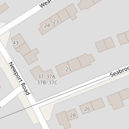
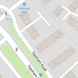
| Topsham Road, Exeter | £ 315,000 | BUY | 6 / 10 | 0.17 KM |
| Seabrook Avenue, Exeter | £ 350,000 | BUY | 6 / 10 | 0.18 KM |
| Topsham Road, Exeter | £ 650,000 | BUY | 7 / 10 | 0.18 KM |
| Wear Barton Road, Exeter | £ 290,000 | BUY | 7 / 10 | 0.23 KM |
| Hardy Close, Exeter | £ 425,000 | BUY | 7 / 10 | 0.23 KM |
Nearby Properties
| Address | Price | Distance |
|---|---|---|
| 14 Higher Wear Road | £ 198,000 | 0.00 KM |
| 2 Higher Wear Road | £ 160,000 | 0.00 KM |
| 10 Higher Wear Road | £ 199,950 | 0.00 KM |
| 22 Higher Wear Road | £ 170,000 | 0.00 KM |
| 17 Higher Wear Road | £ 179,950 | 0.00 KM |